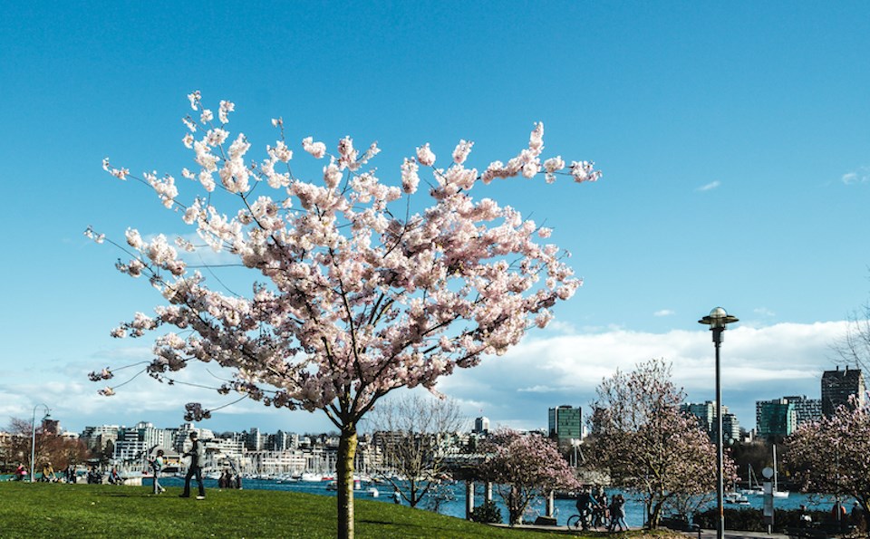
Metro Vancouverites should enjoy unseasonably warm temperatures for at least the next week, but some wet weather might come right after it.
A ridge of high pressure is expected to continue to bring "warmer than normal temperatures" to the Lower Mainland heading through the weekend, with daytime highs reaching the mid to upper teens in areas closer to the water and as high as 20 C or 21 C inland, according to Environment Canada Meteorologist Lisa Urban.
Starting Thursday, March 14, daytime temperatures are expected to reach a high of 11 C and an overnight low of 4 C across most of the region, which isn't far off from the seasonal averages (a high of 10 C and a low of 2.2 C)
But Friday should see a shift from typical temperatures to highs several degrees above average. The daytime high might climb to 16 C and drop to a low of 7 C overnight.
The weekend forecast looks even warmer, with daytime temperatures in the upper teens. The warmer-than-normal temperatures should persist into the start of next week.
Could temperatures exceed 21 C during the warm spell in the region?
Urban said the forecast doesn't indicate that temperatures will exceed the maximum inland ones Environment Canada is currently projecting. The department monitors the development of the high ridge of pressure to see if it is bringing "an even warmer air mass" but it is stable.
Metro Vancouver weather forecast for next week includes cooler temperatures, possible rain
Starting mid to late next week, the region is expected to experience a shift from warm temperatures and sunshine to some possible precipitation as the ridge of high pressure starts to break down, Urban explained.
"There are some hints that some 'winter-like' weather will come to the Central Interior and the Rockies," she said, noting that meteorologists will be monitoring the development to see if it could spread to the Lower Mainland.
The department looks for "changes in the upper-level wind pattern" that could bring the cold air pattern to the region.
"March is always a bit of a dynamic month. It's not uncommon for us to see such drastic changes," Urban noted.
Before the cool shift, warmer-than-normal temperatures are expected for most of the province.
Stay up-to-date with hyperlocal forecasts across 50 neighbourhoods in the Lower Mainland with V.I.A.'s Weatherhood.


