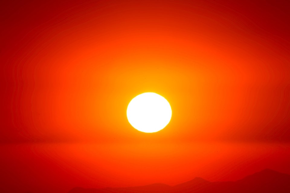
Temperature records weren’t just broken throughout British Columbia on Sept. 10. They were “obliterated.”
West Vancouver blasted past its 1987 record by a whopping 4.3 degrees, says Armel Castellan of Environment Canada. On Sept. 10, 2020, temperatures climbed to 30.1°. The previous high was 25.8°.
Squamish’s previous temperature high for the day was 29.3°, set in 2013. Yesterday the temperature reached 31.6°.
Sechelt also topped its record, set in 2007, by four degrees when mercury rose to 30°.
Other record setters included Victoria, Powell River, Port Hardy, Pitt Meadows and Pemberton. All told, more than 18 previous high-temperature records were broken across the southern half the province.
On Friday, the Interior had a good chance of continuing to break records but in the Lower Mainland, a cooler weather trend had already developed.
“The warmth is tapering off, which is going to have an impact on the wildfires, where all of this smoke is being created in Washington and Oregon,” Castellan says. “On Monday, we have a trough coming off shore. It's not going to be a big fall or winter storm by any stretch but we will see some clouds and certainly a little spit of rain.”
That rain, which will return at the end of next week, will help clean the air of smoke.
Climate change is changing what we consider “normal” weather patterns.
“Here in the mid latitudes we can expect the unexpected,” Castellan says. “We're going to see times when things are much drier than they have been in the previous couple of centuries and other times where they're super wet. Extremes are going to be hit more often than they used to whether it's daily temperature extremes or frequencies of wildfire behaviour.”
For instance, he says, “we’re looking at very wet patterns happening in the storm season, November through to March, with atmospheric rivers being stronger than they will have ever been before. We're not necessarily talking about frequency but certainly amplitude of those events.”


