Sea levels are on the rise and so too are the regulations for building a home on the waterfront.
District of West Vancouver council voted unanimously Monday night to begin drawing up a new set of rules to follow for anyone who plans on building within the foreshore area to ensure their home will remain safe as the climate changes for the worse.
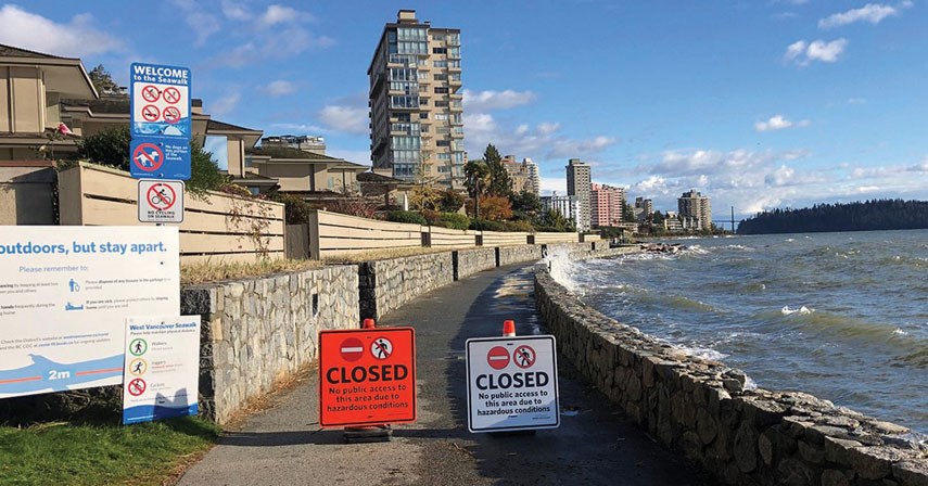
In 2018, the province changed the minimum height for determining safe flood construction levels, with modelling projecting the sea will rise by one metre by 2100.
The municipality hired consultants to map out what that would look like, especially during storm surges, and recommend some protection strategies.
Their report lays out long-term options like building up natural berms, a contiguous seawall or offshore breakwaters to keep the water at bay in high-risk areas in Dundarave, Stearman Beach and Ambleside where modelling shows waves could eventually be cresting north of Marine Drive.
But in the shorter term, staff are recommending the district create a development permit area for low-lying properties. Currently, before getting building permits or a subdivision, property owners in the floodplain area must first get a professional flood hazard assessment report in keeping with the province’s guidelines and have it approved by the municipality. With no standard set of rules, the process has been confusing for applicants and it has also led to conflicts with neighbours who worry higher flood construction levels will result in their homes being overshadowed, loss of privacy or drainage issues.
Creating a new foreshore development permit area should provide clarity on what the appropriate flood construction level for a property is and what exemptions may be available, what other flood-proofing strategies are available and other environmental considerations, district staff say. If council follows through, would-be buyers of any low-lying properties will know in advance what the new rules are if they plan to redevelop.
There was little controversy at the council table about whether the district should pursue a new set of regulations. The debate centred around an additional motion from Coun. Sharon Thompson. The bylaw will be developed with input from the district’s Coastal Marine Management Plan Working Group, and creating a new development permit area will require a public hearing before it goes into effect. But Thompson wanted to first draw on the expertise of local waterfront homeowners.
“I think for the people on the waterfront, people who own private water[front] who have made these investments in their lives and lifestyles, they need to get in on this conversation soon,” she said. “I hope to gain some insights to help us communicate better with our public, but I think too it’s going to help our public and the people who are making these investments in understanding what to expect in the future.”
Coun. Nora Gambioli however said she didn’t see much reason to add another step over and above the usual public process when drafting a bylaw.
“We hire and pay expert staff … for a reason – because they are experts and this is what they do for a living,” she said. “The added benefit is that our staff work for us. They work for the whole community and they are tasked with creating policies for the community. Not for themselves. Not for their own interests.”
District staff expect to hold that workshop with waterfront homeowners and stakeholders sometime in the first quarter of 2021. Earlier this year, council adopted a development permit area specifically for residents along the forest interface to mitigate wildfire risk.


