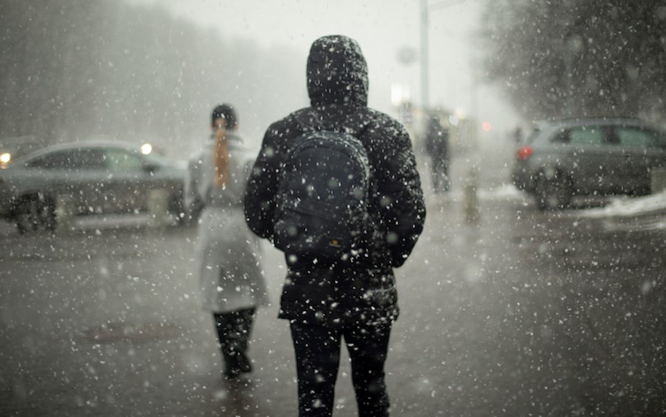
The Metro Vancouver seven-day weather forecast includes plunging temperatures and the possibility of flurries in some areas.
Starting on Monday, Feb. 12, V.I.A.'s Downtown Centre Weatherhood station includes a high of 9 C and a low of 5 C, as well as a 99 per cent chance of wet weather. However, the rain isn't expected to be heavy, with amounts totalling 4 mm.
Tuesday is expected to see slightly cooler temperatures as the skies clear and Wednesday's overnight low may dip close to freezing in the downtown area.
Clouds are expected to roll in by Thursday, with a 27 per cent chance of wet weather.
Temperatures are expected to climb significantly during the day Friday, with a high of 10 C, before they pummel down to the freezing mark after dark. There is also a modest chance for rain or mixed flurries overnight.
Metro Vancouver weather forecast
Other parts of the Lower Mainland are expected to see similar although somewhat colder temperatures. For example, the Richmond City Centre area could see temperatures drop to the freezing mark by mid-week, while Port Coquitlam could see them fall below zero during this time.
Although they may feel chilly, these temperatures track close to seasonal averages, which include a high of 7.8 C and a low of 1.4 C, according to Environment Canada's historical climate data.
Places at higher elevations are more likely to see flurries and local mountains could receive a dusting of snow if there is a decent amount of precipitation.
While Environment Canada isn't expecting a blast of Arctic air over the next few weeks, one could still conceivably occur before the end of winter. Matched with precipitation, it could create another major snow event.
Stay up-to-date with hyperlocal forecasts across 50 neighbourhoods in the Lower Mainland with Weatherhood.


