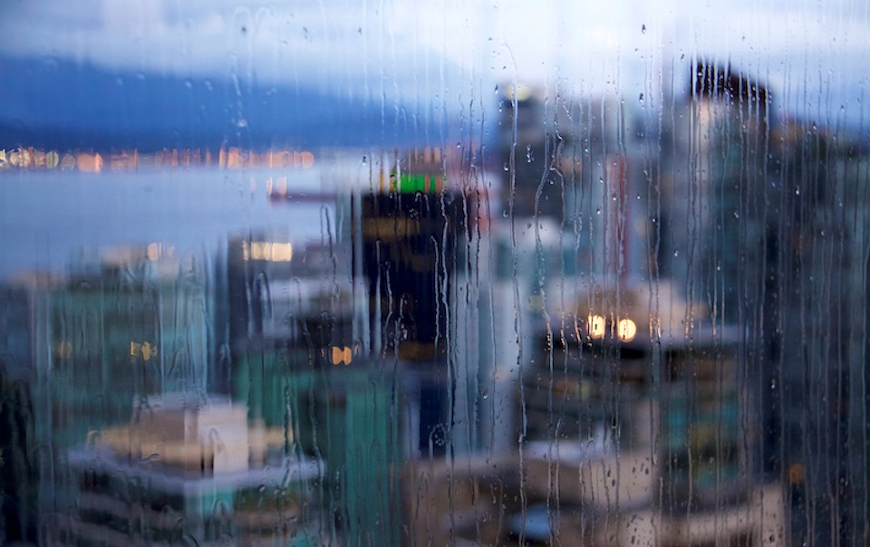
The Metro Vancouver weather forecast includes a mix of wet and possibly frosty moments over the next week.
While February is expected to see warmer temperatures overall, overnight lows might dip below the seasonal average next week.
Starting on Thursday, Feb. 8, V.I.A.'s Downtown Vancouver Weatherhood station shows a high of 6 C and an overnight low of 3 C.
Similar temperatures are expected in other parts of the Lower Mainland. In Richmond City Centre, for example, the area is expected to see a high of 6 C with the overnight low dipping down to 1 C.
Environment Canada meteorologist Derek Lee noted that the region is experiencing temperatures around the seasonal average but that they may start to shift next week.
Metro Vancouver's daytime highs for this time of year average around 7.5 C with overnight lows at 1.5 C, according to the department's historical climate data.
Thursday through Saturday morning are expected to be dry but some wet weather is likely to make its way into the region overnight Saturday.
Sunday's rainstorm is an organized tempest rolling in off the Pacific that could produce anywhere from 10 to 20 mm of rainfall throughout the day. While it will be a significantly wet day, the storm would need to produce 50 mm of precipitation or more to meet the criteria of a rainfall warning, Lee explained.
Metro Vancouver weather forecast
Heading out of the weekend, the following week is expected to be largely dry but there are some chances for precipitation. While daytime highs may start to trend a few degrees above the seasonal average, overnight lows might average a bit below them, particularly if the nights are clear.
With no organized storms expected next week, forecasters believe there won't be enough cloud coverage to hold the warmth in through the night.
"Overnight lows could dip down to zero or into the negatives," he said.
Since temperatures could hover around the freezing mark, any moisture in the atmosphere could freeze, meaning there is a slim possibility for flurries. Currently, there is a 20 to 30 per cent chance of flurries for Wednesday -- but locals shouldn't hold their breath.
Lee clarifies that the mixed precipitation would likely only occur briefly overnight and the daytime high would be too warm for it to continue. The local mountains are more likely to see snow during this time.
A warmer-than-normal signal is expected from February into March, thanks in part to the influence of El Niño. Most global weather models currently show that El Niño will transition to El Niño-Southern Oscillation (ENSO)-neutral sometime around May and then to a La Niña pattern by July through September, which could mean a colder and snowier winter in Metro Vancouver.
Stay up-to-date with hyper-local forecasts across 50 neighbourhoods in the Lower Mainland with Weatherhood.


