You can’t manage what you can’t measure, the saying goes.
North Vancouver environmental firm Hatfield is in the running for the World Wildlife Fund’s Nature x Carbon Tech Challenge, an award for developing new nature-based technology for measuring carbon in the environment.
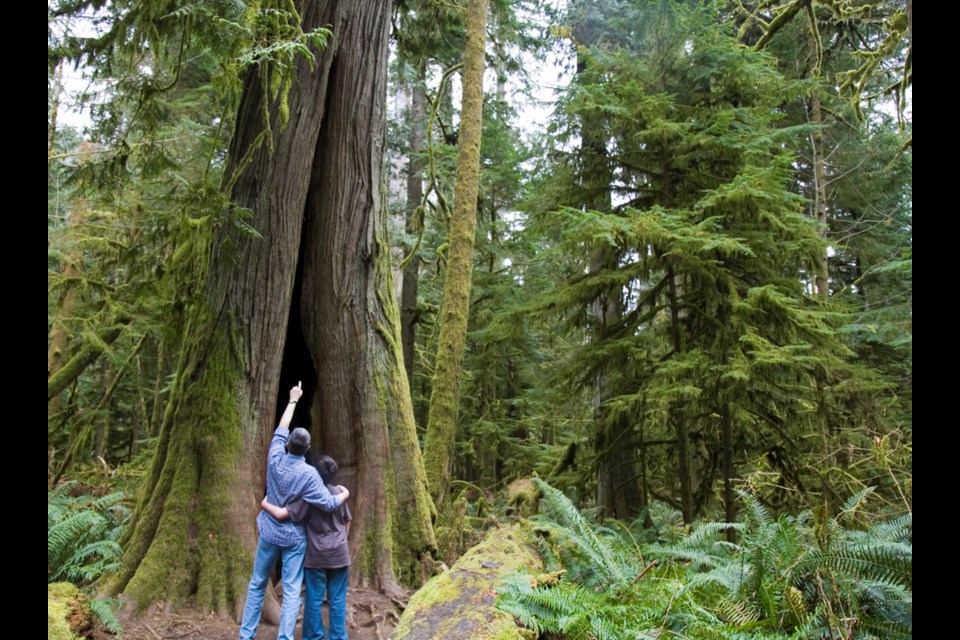
From their Harbourside offices, the team is devising a way to measure the height of forest canopies by using images captured from space.
“Based on height and other parameters, you can calculate the amount of carbon stored in a tree, essentially,” said Olivier Tsui, manager of remote sensing and geomatics for Hatfield.
Currently, the most reliable way to calculate the biomass of a forest requires LIDAR – laser-based instruments loaded onto planes that survey the ground below. But, the process is expensive, and it isn’t practical for use over very large areas.
To develop their model, Hatfield is using LIDAR data from Alberta, gathered by the University of Lethbridge, as well as open source LIDAR data from B.C.’s various government departments. That data will then be cross-referenced with satellite imagery, and fed into arboSense, an advanced machine learning algorithm that eventually will be able to estimate the height of the trees hidden under the canopy and, by extension, the amount of carbon sequestered in their biomass.
The Hatfield team is one of five finalists in the running for the WWF’s prize. They have a year to validate the model and demonstrate that it is accurate when scaled up to larger areas. If it is successful, it could become a valuable tool for governments and scientists to gather carbon data from regions whether it would be otherwise expensive or impractical.
“It's part of the whole commitment of net zero by 2050. Understanding how much carbon is in the environment is essential to understand carbon accounting,” Tsui said. “That affects commitments … under the (United Nations Framework Convention on Climate Change.)”
It will be particularly helpful when large forested areas have been through some kind of change, Tsui noted.
“If there are areas that are disturbed by humans or by natural causes, we can understand the change in that carbon stored in environments and those landscapes,” Tsui said.
The company has been involved in some other eyes-in-the-sky environmental conservation projects, including tracking wildfires from satellites and using artificial intelligence to identify and predict the movements of critically endangered North Atlantic right whales.


