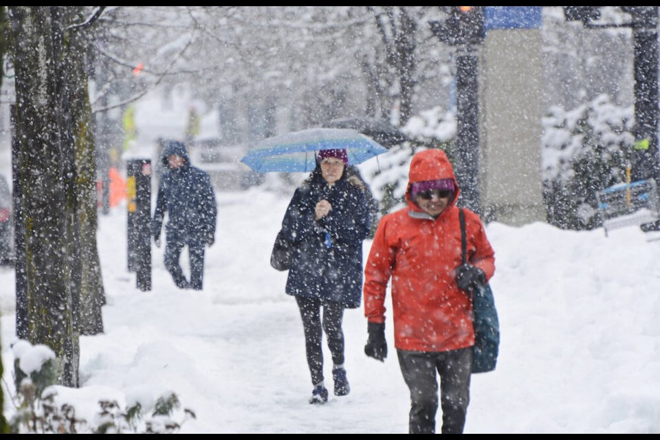
A wild and chilly mix of winter weather is headed to the North Shore this week.
After a work week that started with some snowflakes at higher elevation Monday morning, rain – including heavy rain - is predicted to continue through Wednesday, along with wind gusts of up to 70 kilometres per hour near the water.
There may even be the risk of an occasional thunderstorm, according to Environment Canada.
Heavy snowfall warnings have also been issued for the Sea-to-Sky Highway, with 15 to 20 centimetres expected overnight Monday and into Tuesday morning.
But the real winter show on the North Shore will begin Thursday, said Derek Lee, Environment Canada meteorologist, when bone-chilling arctic cold descends from the Yukon over the south coast.
“The real weather is the cold that’s coming into all of B.C.,” said Lee. “Thursday is when the cold air really arrives on the south coast.”
Beginning Thursday and continuing into Friday, between 2 and 10 centimetres of snow is expected to fall over the North Shore, said Lee. Accumulations are expected to be closer to 2 cm at lower elevations, while higher elevations will probably see higher amounts.
More snow is expected to fall further inland, including over parts of the Fraser Valley.
Overnight temperatures will also drop to as low as -8 C on the North Shore, with daytime highs of -2.
“It’s five to 10 degrees below normal,” said Lee. “It is a dramatic change in terms of the weather pattern.... We haven’t really had any cold snaps yet [this winter]."
Lee said the cold snap will likely stick around until mid-week next week, when temperatures will begin to warm up again, with a return to warmer-than-usual temperatures possible by the end of January.


