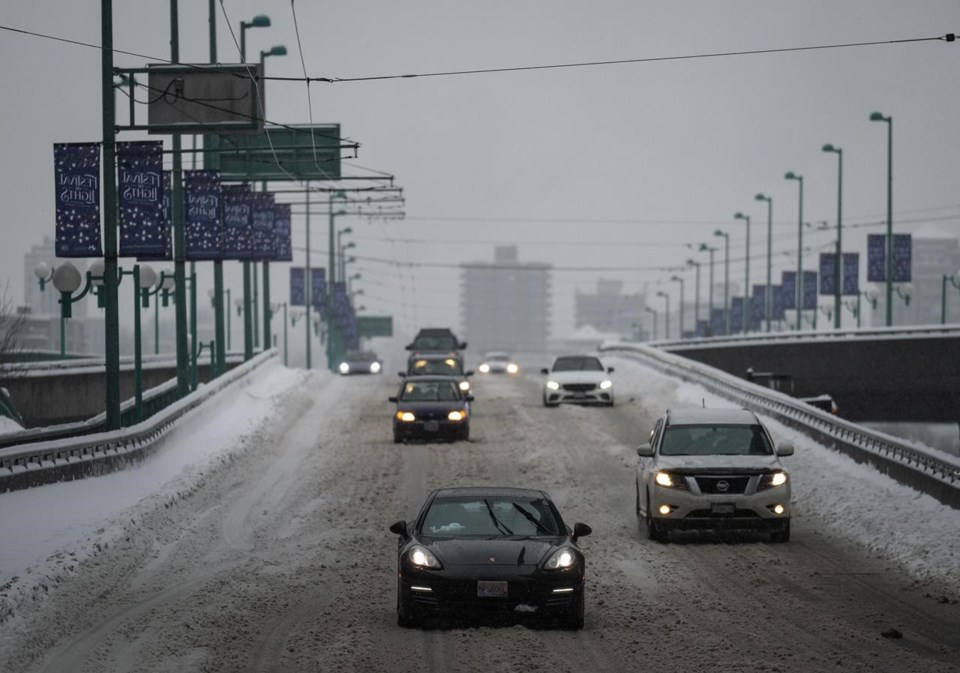
VANCOUVER — Most of southern British Columbia is under a series of snowfall warnings as drivers are being advised to stay off many of the province's major highways.
Forecasters say up to 20 centimetres of snow is expected to accumulate in areas including the Okanagan, Whistler, East Fraser Valley and West Kootenay areas.
Environment Canada says a frontal system is bringing the Interior its first taste of winter of 2024. That will be followed by a slow-moving low-pressure system that will linger through to early Wednesday.
The forecast is especially hazardous on the Coquihalla and Highway 3, where a winter storm warning is predicting up to 50 centimetres of snow and 80-kilometre-an-hour gusts that could create blizzard-like conditions.
The Ministry of Transportation issued travel advisories for stretches of the Coquihalla, Highway 3 and Highway 97C.
The advisories say drivers should expect heavy, drifting snow and limited visibility until Wednesday and warns that "travel (is) not recommended unless necessary."
Traffic on the Coquihalla was blocked by a crash within hours of the advisories being issued.
The weather agency has warnings in effect for the Sea to Sky Highway from Squamish to Whistler, the Coquihalla from Hope to Merritt, Highway 3 from Hope to Princeton and from Grand Forks to Creston, the 97C Okanagan Connector and Highway 1 between Sicamous and Golden.
Snowfall warnings of 10 to 20 centimetres have been issued for the Arrow Lakes, the Peace Region, Boundary, East Kootenay, Elk Valley, Cariboo, Fraser Valley, Howe Sound, the Skagit Valley and Okanagan valleys, the McGregor region, Prince George, Shuswap, Sunshine Coast, Whistler and eastern Vancouver Island.
High winds, gusting up to 90 kilometres an hour will be a problem for western Vancouver Island, Victoria and the southern Gulf Islands.
A special weather statement has also been issued about high water levels and significant waves for shorelines on Tuesday morning along the Strait of Juan de Fuca, which includes Sooke, Victoria and the southern Gulf Islands, and for the waters in Boundary Bay, affecting Delta, Surrey and White Rock.
Environment Canada says there is also potential for snow along coastal sections of the south and eastern Vancouver Island followed by heavy rain, creating a wintry mix of conditions on the Malahat Highway.
This report by The Canadian Press was first published Jan. 8, 2023.
The Canadian Press


