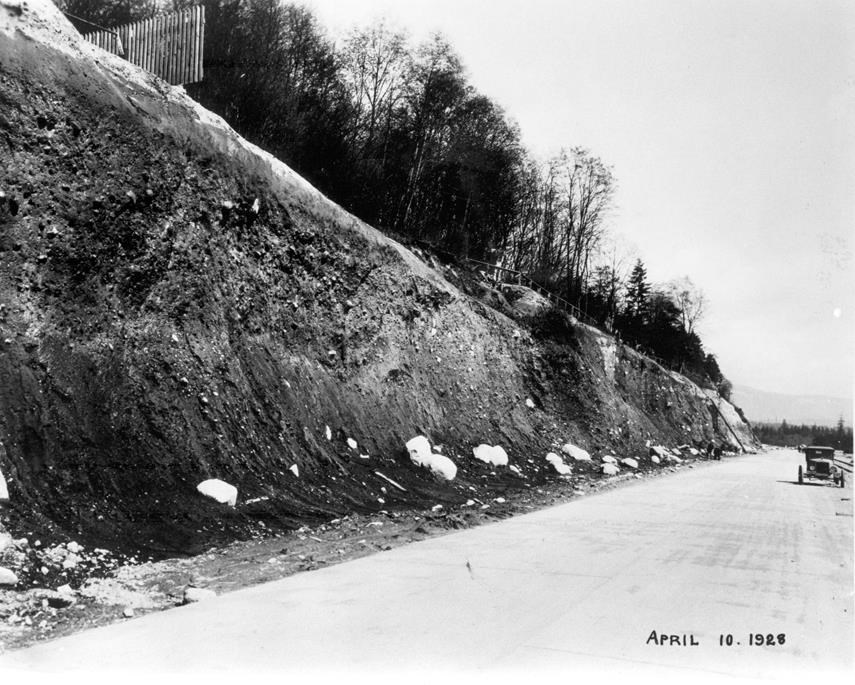
This photograph from 1928 shows a view of the Low Level Road, looking east towards the former site of the Moodyville Mill.
During 1927 and 1928, a low-level waterfront road and rail line was constructed right through the former Moodyville site.
Since the population of Moodyville had disappeared, it was a logical place to construct an industrial site. To accomplish this, construction teams for the City of North Vancouver removed the entire slope on which much of the town had stood.
This development obliterated the last traces of the former mill town.
The waterfront transportation route was an extension of the new rail and road route to the North Shore created by the Second Narrows Bridge, which was finished in 1925 and was the first span crossing Burrard Inlet.
The bridge was built to alleviate overburdened car ferries and to provide easier access to the scenic “playground” of the North Shore.
Visit the MONOVA website for more information about the history of the North Shore and to learn about MONOVA: Museum of North Vancouver opening in 2021.
Currently, MONOVA: Archives of North Vancouver at 3203 Institute Rd. in Lynn Valley is open by appointment only. Contact: [email protected]
Navigate culture on the North Shore by using the North Shore Culture Compass.


