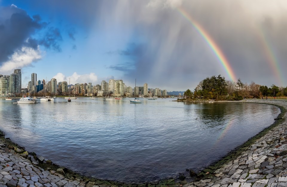
The upcoming Metro Vancouver weather forecast includes wetter conditions and above-average temperatures.
Environment Canada meteorologist Lisa Erven says the region continues to experience "turbulent spring weather," meaning wetter, cooler periods should be expected between drier, sunnier days.
On Tuesday, May 20, an unstable atmosphere created a risk of thunderstorms throughout the day, with cooler air aloft and warmer ground temperatures. However, the risk of thunderstorms is expected to decrease.
"We have some general weak instability over the south coast this afternoon and into the evening, but the atmosphere loses the capacity for thunderstorms as the sun sets," she explains.
A risk of showers is expected to continue through Wednesday during the day and dissipate in the afternoon.
Thursday is expected to be mainly sunny with the daytime high climbing to seasonal (18 C). A system is expected to bring showers on Friday, bringing temperatures down several degrees.
Metro Vancouver weather forecast includes warmer temperatures
Saturday's forecast includes a mix of sun and cloud and a high of 17 C with a low of 10 C.
A ridge of high pressure will start building Saturday, and by Sunday, temperatures are expected to reach 24 C, or roughly 5 C above the seasonal average.
"We are still in turbulent spring weather, with cooler, wet periods, but we have bursts or periods of hot weather," Erven explains.
"It'll be a short burst of warm sunny weather, and hopefully we can take advantage of it."
Next week's forecast has quite a bit of uncertainty, and the international weather models aren't in agreement about exactly how it will play out.
"I don't see any significant storms, but locals should be prepared for cooler, wetter weather," she adds.
Stay up-to-date with hyperlocal weather forecasts across 50 neighbourhoods in the Lower Mainland with Weatherhood.


