Human-caused climate change will set the stage for a vast redistribution of the world’s plant and animal life, according to a new study mapping how the planet’s biomes will shift by the end of the century.
The research, published Oct. 23 in the journal Nature, used dozens of climate models and historical climate data from more than 170,000 meteorological stations going back to 1901.
From that analysis, the researchers were able to map down to the square kilometre how the world’s biomes — large areas of land classified by climate, and plants and animals that live there — would grow and expand with shifts in temperature and precipitation.
Alexis Berg, an assistant professor of geography at the University of Montreal and a co-author on the study, said yearly temperatures are expected to increase across the entire planet. But the biggest warming is forecast to hit the higher latitudes hardest, transforming Canada’s north and mountainous regions into very different places.
By mapping how the natural world might change under different climate scenarios, Berg said he and his colleagues hope to make the localized effects of a changing climate more vivid and more meaningful to people.
“It gives you an idea of what things will look like,” he said.
Big shifts in temperature and precipitation
Berg and his colleagues produced a first version of the climate projections in a 2018 landmark study, one that offered a worst-case scenario for climate-driven warming. The latest mapping offers more nuance, with seven outcomes based on how much humanity has and continues to warm the planet.
To come to their conclusions, the researchers evaluated the accuracy of 67 climate models, comparing what they predicted in the past and what really happened. Of those, they discarded more than two dozen of the least realistic models because they overshot how hot the planet would get.
From there, the scientists were able to classify temperature and precipitation changes as a shifting global mosaic of 30 climate zones first envisioned by Russian-German climatologist Wladimir Köppen in the 19th century.
Today, an evolution of that model, known as Köppen-Geiger climate classification maps, divides the world into four land ecosystems — tropical, arid, temperature, continental as well as polar and alpine climates.
Seasonal temperature and precipitation patterns divide the world up further, adding designations like rainforest, monsoon and savanna in the tropics, desert and steppe in the driest regions.
Katie Marshall is an associate professor of zoology at the University of British Columbia researching the pole-ward migration of species. She said the climate classification zones have long been a way to divide up the living world. But after comparing Berg and his colleagues’ historic maps with their climate forecasts in 2100, she was impressed.
“It’s something we've used for a long time to understand what can live where,” said the researcher, who was not involved in the study. “It’s really quite astonishing how much those are shifting.”
“That is just absolutely incredible.”
A ‘chaotic’ climate transition
At the global scale, temperature is expected to increase over every piece of land on the planet.
Over Central America, the Mediterranean, Australia and the southern part of Africa, the amount of rain falling will drop by the end of the century, while increasing over the rest of the Earth’s land surface.
Berg said Canada’s northern tundra would see vast changes alongside the coldest mountain environments as a climate zone associated with southern Ontario and Quebec expands across Western Canada and the northern territories.
By 2100, the area covered by polar climates is expected to drop by half, from eight per cent to four per cent, under even moderate warming conditions.
“Eventually those biomes fall off into the ocean. There’s nowhere to go,” said Chris Harley, an ecologist from the University of British Columbia’s department of zoology, who was not involved in study.
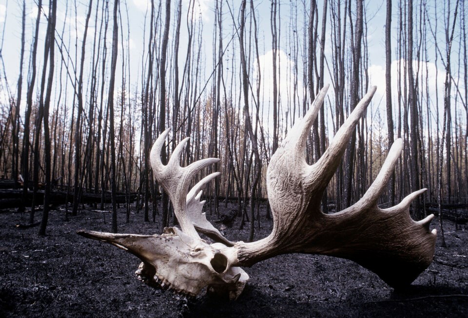
Describing the shifts as “chaotic,” Berg said big changes would likely occur through a succession of wildfire seasons or insect infestations — really any destructive influence that eliminates the foundational species of a forest and makes room for another.
“Recent events have to give you a hint of how that might happen,” Berg said, pointing to Canada’s historic 2023 wildfire season. “Changes are not going to be peaceful.”
Humans, and the deforestation, farming and city building that they bring with them, would likely accelerate those changes, as the land area they cut, plow and build expands.
Delay between new climate and new ecosystem
Despite the improved accuracy of the climate zone maps, the future forecasts come with some big caveats. That’s because the emergence of a new ecosystem requires more than a new climate.
Local geography, soil type, wildfires, disruptions from invasive species, the availability of nutrients as well as human influences like urbanization, deforestation and agriculture all complicate when and how a new biome will emerge.
“If a climate zone shifts overnight… that doesn't mean that the landscape is going to transform overnight,” said Berg.
To complicate matters more, it’s not clear how increased atmospheric carbon concentrations will stimulate plant growth around the planet.
Still, said Berg, his and his colleagues’ modelling shows a major potential for a shift in the planet’s natural world.
A world in flux
Under a moderate warming scenario, global average temperatures climb 2.7 degrees Celsius by 2100. In that world, parts of eastern Australia’s inland region will transform from a hot Mediterranean climate to one where hot semi-arid conditions dominate, according to the study.
The researchers’ models show hot desert climates expanding along South America’s west coast, in Peru and Chile, as well as in the U.S. southwest and northern states of Mexico. Much of Morocco, Algeria and a growing slice of Spain’s southeast coast will see similar hot, dry conditions, while desert conditions are also expected to expand across Iran and parts of Central and South Asia.
Much of France, once dominated by a temperate oceanic climate in the late 1930s, will see a transformation as a humid tropical climate creeps up from the south, bringing with it conditions more commonly seen today in the U.S. southeast. Across large swathes of Eastern Europe, that same humid tropical climate will replace today’s continental climate.
And in Canada, the same continental climate today dominating the U.S.-Canadian border from Saskatchewan to Nova Scotia will march hundreds of kilometres north, expanding into areas previously dominated by humid continental and subarctic conditions in a pattern similar to what will emerge in parts of Scandinavia and Russia.
B.C.’s mountainous terrain will not be immune. On the coast, a temperate oceanic climate will expand inland and up mountains. In some southern parts of the province, even pockets of hot-summer Mediterranean climate could emerge.
“When you zoom in on B.C., you see things moving up hill. You also run out of mountain when you run out of things to stand on,” Harley said. “That’s going to affect our water supply. That's going to affect our salmon. The list goes on.”
The authors of the study warn highland regions could limit the accuracy of their models. Yet the latest global mapping study is far from the only group of experts forecasting a major shift in the distribution of species across Canada’s westernmost province.
World's plants and animals on the move
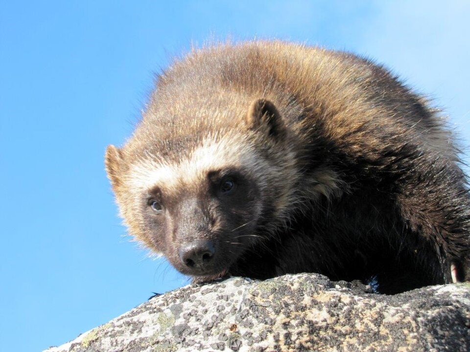
Climate change is projected to push B.C.’s carnivores, such as the wolverine, from old ranges, opening up space for new mammals as tracts of the province’s forests are transformed.
Andreas Hamann, a researcher at the University of Alberta, has produced his own models showing Lodgepole pine squeezing out the carbon-rich triangle of boreal in B.C.’s northeast. Further south, he says it could look even drier, with forests turning into grasslands or even desert ecosystems like that seen in the Okanagan.
“We also don’t know if the plants can keep up. Not all species can move that fast. There’s talk of actually transplanting species,” added Harley, after reviewing the latest series of maps.
The warming temperatures could also open up the door for creatures at the smaller end of the living world. Some scientists have estimated there are about 10,000 viruses with the potential to jump from animals to humans; others have found evidence that under current trends, growing interactions between humans and wildlife will triple the rate of emerging diseases.
Projected shifts in temperature and rainfall are forecast to upend the range of pathogen-carrying mosquitoes. Marshall pointed to aedes aegypti, a mosquito species known to spread the Chikungunya, Dengue, Japanese encephalitis, Zika, West Nile and Yellow fever virus. Today, its known Canadian range isn’t thought to expand much past parts of southern Ontario. But that could change.
“We are expecting it to move further north and likely into Canada in the coming decades,” she said. “As our winters get milder with climate change, we are expecting more frequent invasions.”
The same is true for forest pests, such as the mountain pine beetle, which has extended its range in recent decades as mild winter temperatures fail to dip low enough to stem its expansion.
“Having this kind of data is something that we use all the time for our species distribution models that help us make predictions about what a species is going to do in the future,” said Marshall.
“Getting that sort of fine-scale detail is is really, really lovely.”
Current warming trends suggest between 34 and 94 bird species are high risk of losing their current range across much of B.C., according to the National Audubon Society. And on land, beavers and their landscape-altering dams have already arrived on the Arctic coast, attracted by a “shrubification” of taller, woody plants. It’s all part of what one 2017 study described as a “universal redistribution of life on Earth” involving half the planet’s species.
For Marshall, seeing the prospect of all that change on a map can be overwhelming.
“On one hand, these maps can be really a lot and it can be kind of scary to contemplate the future,” she said.
“But I also say keep in mind that the future is not fixed. We can affect it.”


