An injured hiker needed some help from above after hurting her leg on a steep trail in the West Vancouver backcountry Sunday afternoon.
North Shore Rescue received a call just before noon Sunday from B.C. Ambulance reporting a 15-year-old teenager sprained her left ankle after a slip on a large rock hiking up to St. Mark’s Summit along the Howe Sound Crest Trail in Cypress Provincial Park.
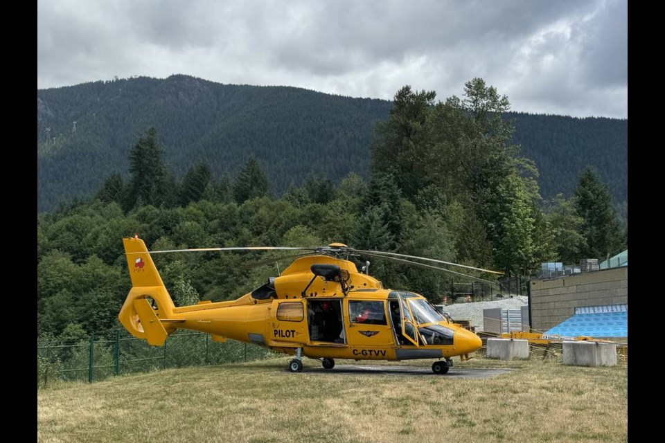
Volunteers used a Talon helicopter to find the teen on the trail, where she was stranded with her mother and relatives.
“It was sore enough that she wasn’t able to walk on it, so it’s best not to aggravate it,” said search manager Don Jardine. “If you’re feeling that much pain, it’s better to call for help.”
After rescue crews found the injured hiker, two volunteers hoisted down to place her into the aircraft. From there, crews flew to the search and rescue team's Capilano Gate station so an ambulance could take her to Lions Gate Hospital.
St. Mark’s Summit is one of the viewpoints along the Howe Sound Trail, a 26-kilometre hike spanning from Cypress Bowl to Porteau Cove above the Sea to Sky Highway.
“It’s easy to have a slip, it’s fairly steep,” Jardine said. “There’s still a little bit of snow in places, and because it’s melting, there’s a bit of mud. There’s lots of slippery roots and rocks.”
In a social media post, the search and rescue team said Sunday’s call highlights how quickly plans can change in the backcountry.
Jardine urged people to be careful with their footing while hiking, going with a group and bringing equipment like hiking poles.
“I find hiking poles are really advantageous because you’re getting four points of contact rather than just two, and if you do slip, they can stop you from twisting your ankle,” he said.
“It’s a popular hike, there are a lot of people going there and it can get quite hot in the summer,” Jardine added. “So go early and bring lots of water.”
North Shore Rescue also shared in the post other recent calls they have responded to, including a tourist stuck near Eagle Bluffs after running out of water and trying to navigate steep terrain with a phone map, a solo hiker who slipped along the BCMC Trail on Grouse Mountain, a helicopter hoist operation for four teenagers on Mount Fromme who become stranded in steep terrain after leaving the trail trying to descend to Mountain Highway, and a fatal motor vehicle crash near Norrish Creek with an overnight helicopter search.
After the recent calls, the search and rescue team offered a number of safety tips such as using backcountry specific apps like Gaia or AllTrails and downloading the map ahead of time, as Google Maps is not always reliable in remote terrain. Also if a hiker leaves the trail, do not keep heading downhill, but return to known ground if safe.
Abby Luciano is the Indigenous and civic affairs reporter for the North Shore News. This reporting beat is made possible by the Local Journalism Initiative.
https://bsky.app/profile/abbyluciano.bsky.social
 Want to stay updated on North Vancouver and West Vancouver news? Sign up for our free daily newsletter.


