Metro Vancouver's hot streak is going to continue, weather-wise.
A ridge of high pressure is sitting over southern B.C. right now, keeping skies clear and days warm, according to Environment Canada Meteorologist Jennifer Kowal.
For the next several days, it'll remain, and keep the weather stable, Kowal tells V.I.A. While a small amount of cloud on Tuesday and Wednesday may prevent temperatures from getting as hot as other days, they won't have a significant effect, she says.
"We're just going to be hot in the day and cooling over night, really, for the rest of the week," she says.
Due to the ridge, areas near the shore will be significantly cooler compared to inland areas, she adds, as the ocean will have a cooling effect on the air during the day.
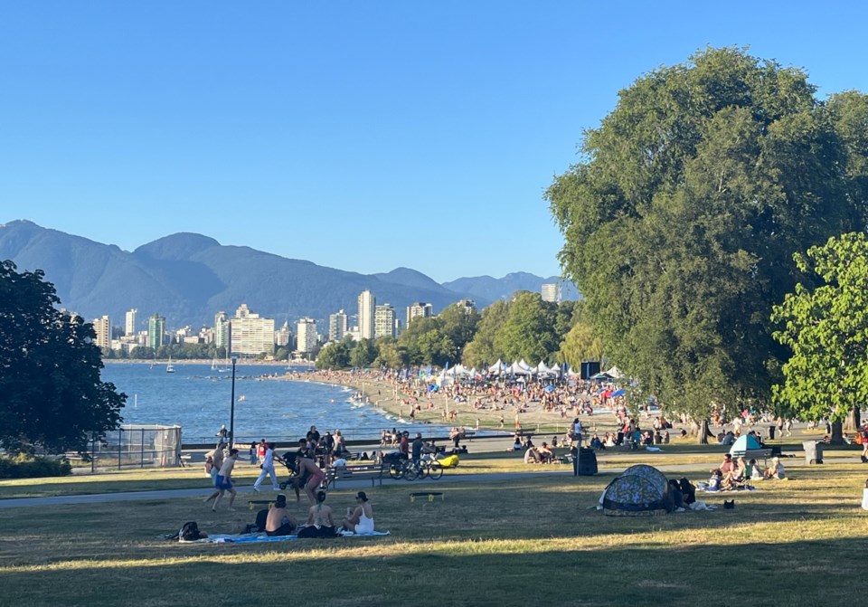
For the next few days, neighbourhoods like Kitsilano, UBC, and West Vancouver can expect highs of around 24 or 25 C, while inland areas like Burnaby and Coquitlam are forecast to see highs reaching up to 30 C. Further inland, 33 C may be seen in the Fraser Valley.
"There's probably going to be about a 5-degree difference between the shore and inland," says Kowal.
While the daytime highs will be quite warm, no heat warning is expected to be issued as overnight lows are expected to drop down to 15 C.
Kowal notes that the ocean may have the opposite effect at night. Inland areas may cool of more and areas near the shore may stay warmer as the ocean releases the heat it absorbed during the day.
By the weekend, there may be showers, Kowal notes, but it won't be because of an incoming system or air mass. Instead, the current system may cause convective showers.
Stay up-to-date with hyperlocal forecasts across 50 neighbourhoods in the Lower Mainland with V.I.A.'s Weatherhood.


