Despite the deluge over the weekend, expect a warmer and drier first half of summer, say meteorologists.
An exceptionally warm dry spring was book-ended by a day of torrential rain on Saturday.
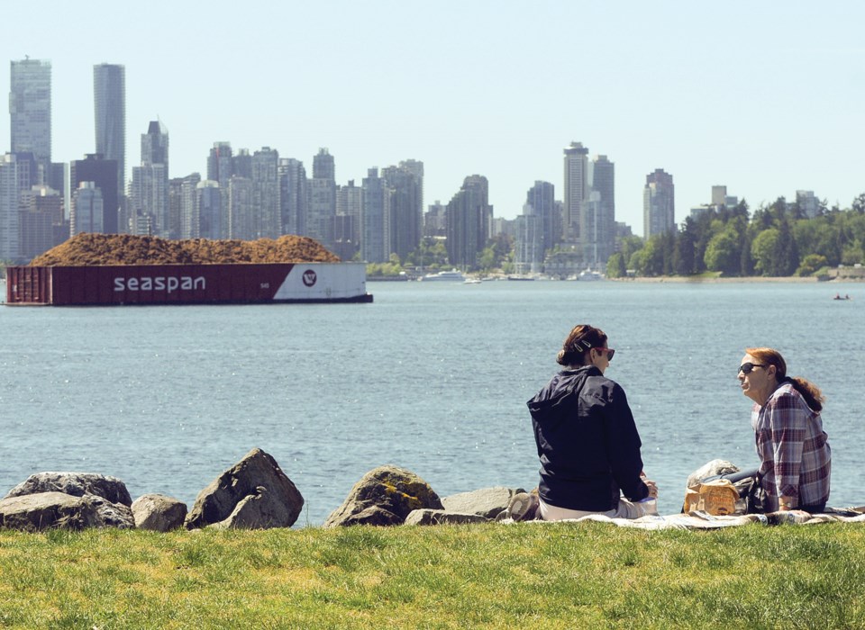
Almost 70 millimetres of rain fell in North Vancouver on the weekend – most of that in 24 hours. “It’s probably the wettest day so far this year,” said Matt MacDonald, meteorologist with Environment Canada.
The soaker of a day on May 28 came at the very end of what has otherwise been an unusually warm and balmy spring.
Average temperatures in the Lower Mainland were 1.7 degrees warmer than normal for March, said MacDonald, and 2.5 degrees warmer than normal in April. “It was the warmest April on record,” said MacDonald. Temperatures during the first half of May followed a similar pattern.
“That was following a winter that was also warmer than normal,” said MacDonald. “I’m starting to sound like a broken record. All of our seasons for the past three years have been warmer than normal.”
April and May were also much drier months than usual – with the notable exception of last Saturday. April received only about 20 per cent of normal rainfall. Until last weekend, less than 6 mm of rain had fallen in May.
The end of an El Nino winter is likely responsible for the warm weather pattern this spring, said MacDonald. “It was the strongest El Nino on record.”
El Nino peaked in late January, but “the ocean temperatures are still slightly warmer than normal,” said MacDonald.
Expect to see the warming trend continue for the first half of the summer.
Looking ahead, “There’s a good chance that June and July will be warmer than normal,” he said.
But by the end of the summer, the coast should be back to near normal summer weather.
That still means generally warm, sunny weather for August, he said. But the end of El Nino and the breakup of a large “blob” of warm water off the West Coast that contributed to last summer’s long, hot drought mean the unbroken weeks of scorching temperatures experienced last summer will be less likely
this year.
Dayna Vettese, a meteorologist with the Weather Network, agreed. Compared to last summer, this summer’s weather patterns are likely to be more changeable, she said, with heat waves alternating with cooler, wetter temperatures. “We’ll see that happen throughout the summer.”
After last summer’s long drought, this year lawn sprinkling restrictions came into effect two weeks earlier – on May 15, in an attempt to moderate water consumption early in the season.
Lower Mainland water reservoirs are at about 96 per cent full – considered normal for this time of year.
Province-wide, snowpacks started at relatively normal levels. But according to the B.C. Rivers Forecast Centre, that snowpack has been melting at a rapid rate because of the warm spring temperatures. The forecast centre stated that mid-May snowpack levels were typical of what is usually observed in mid-June, putting the snow melt about four weeks ahead of normal.
Snowpacks that feed into the Metro Vancouver watersheds are at about 46 per cent – well above what they were last year.
Late spring and early summer rain is usually considered more important than snowmelt to the local water supply.


