Bing Crosby won’t have to dream about it. On most of the North Shore, he can have his white Christmas.
A winter storm arrived as predicted Tuesday morning but it brought with it far more snow than Environment Canada was initially forecasting.
“As the storm approached the coast overnight, it sucked a lot of the cold air out of the interior,” said Matt MacDonald, a meteorologist with Environment Canada. “Instead of starting as rain and switching to snow, it started as snow right away.”
At 9 a.m., the Pacific Storm Prediction Centre issued a snowfall warning, of 10 to 20 centimetres for the highest elevations.
The snow was expected to taper off overnight with a cool, sunny day predicted on Wednesday. Tuesday’s dump of snow made for slick conditions for both commuters and Christmas shoppers. MacDonald said people should brace for similar challenges Wednesday morning as temperatures plummet.
“It’s going to be very slick out there. I’m sure the road crews will be on it all night but be prepared for some very slippery conditions (Wednesday morning) and some frost,” MacDonald said.
There may be some more flurries on Thursday but that will be followed quickly by an Arctic air flow, bringing temperatures that will all but guarantee the snow sticks through Christmas and possibly into 2018, MacDonald said.
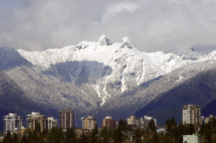
“This is perfect for Santa. He will be landing on a snow-covered surface for most people as opposed to gravel and grass,” MacDonald said. “If we can get through this next day and a half or so, it’s going to be that classic postcard image of the North Shore mountains glistening in the snow and just beautiful crisp sun.”
Historically, only about 15 per cent of the Lower Mainland’s Christmases have included snow.


