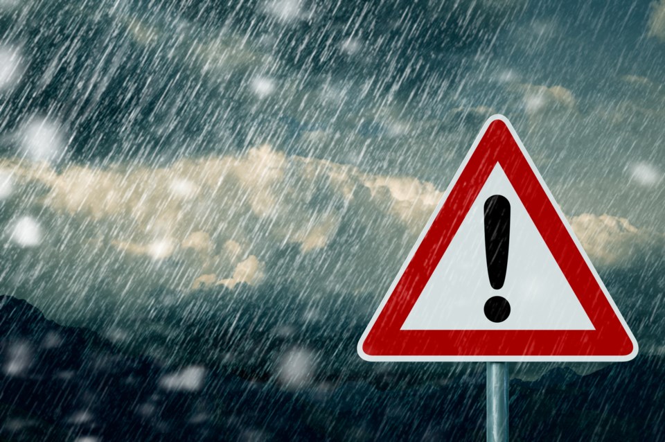
Environment Canada has issued a rainfall warning for Whistler and the Sea to Sky corridor.
And while it will be precipitation in the valley, the alpine is expected is get over 40 centimetres of snow on Saturday and about 14 centimetres a day Sunday, Monday and Tuesday.
"A significant weather system will impact the region with heavy rain for Saturday," said the warning. "The heavy rain will ease Saturday night. Total rainfall amounts for the period will range from 40 to 50 mm. Higher rainfall amounts approaching 60 mm will [fall in] areas along the Sea to Sky Highway south of Brandywine."
Driving conditions could be hazardous. Go to Drive BC to stay up to date with highway driving.
For alerts and forecasts go to Environment Canada. To report severe weather, send an email to [email protected] or tweet reports using #BCStorm.
If you are heading out into the backcountry, visit Avalanche Canada before you go. With the storm system continuing, avalanche activity is expected to remain widespread with the organization recommending sticking to conservative terrain — a complex snowpack has lead to several avalanche incidents in the last week. The danger rating is at "high" for both Saturday, Jan 2 and Sunday, Jan.3.
Travel and Terrain Advice:
- Avoid all avalanche terrain during periods of heavy loading from new snow and wind.
- Avoid areas with overhead hazard.
- Storm slabs in motion may step down to deeper layers resulting in large avalanches.
- Be aware of the potential for large avalanches due to the presence of buried persistent weak layers.


