The snowpack that feeds Metro Vancouver’s water supply during hot summer months is still more than 60 per cent below historical levels, despite recent snow that fell at the end of February and beginning of March.
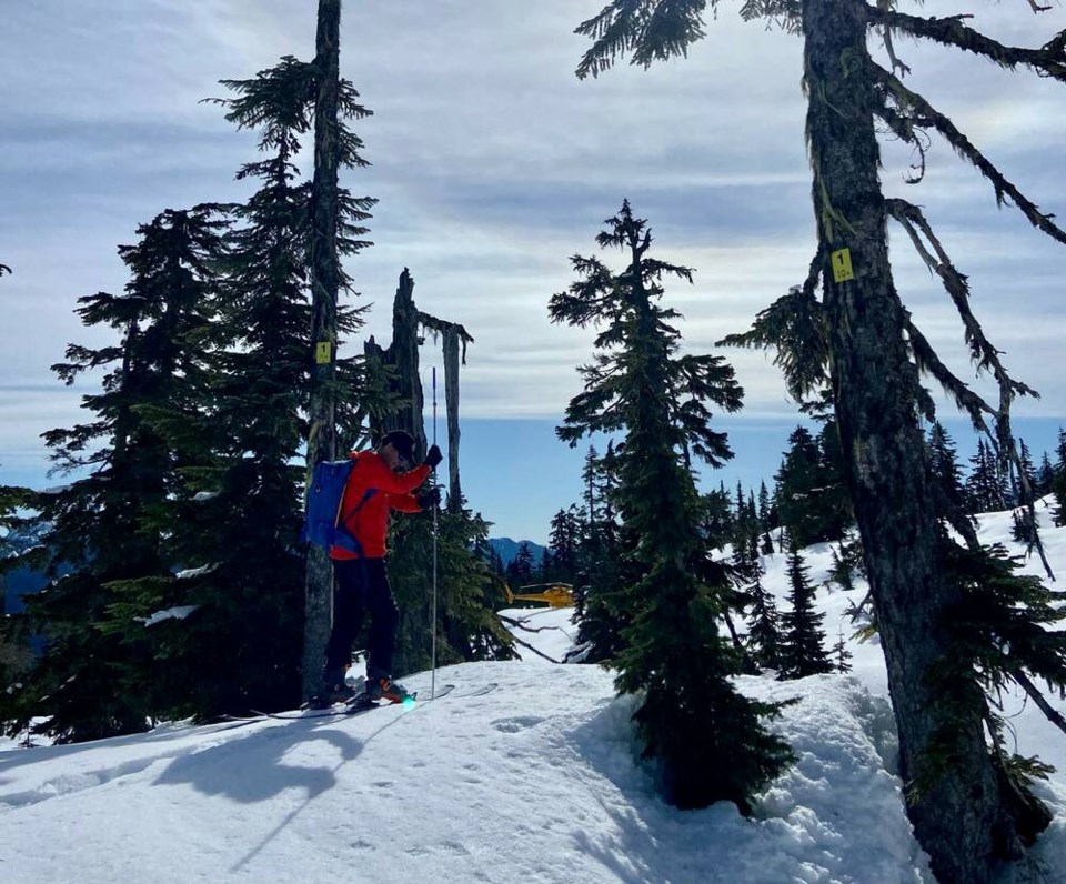
Metro Vancouver’s most recent March snow survey found the snowpack is about 39 per cent of the average historical level, according to the regional government.
That’s an improvement from February, when the snowpack was sitting at only 30 per cent of average.
But it’s still not enough to allay concerns about a potential drought this summer.
While the recent snowfall has helped with the outlook for water supply, “the snowpack is still lower than we would like to see at this time of year,” said Metro’s water committee chair Malcolm Brodie, in a statement.
Brodie said it’s still too early to tell what impact the current conditions will have on water supply in the summer, but added Metro plans to ramp up water conservation measures earlier than usual.
Seasonal lawn watering restrictions are scheduled to come into effect May 1. Since 2022, property owners have also been limited to lawn watering one day a week, down from two days a week previously.
On Friday, the BC River Forecast Centre provided a province-wide update for the snowpack situation, showing the average snowpack sitting at about 66 per cent of normal on March 1.
That’s up from 61 per cent of normal recorded Feb. 1, but remains the “second lowest provincial March 1 snowpack that we’ve seen,” said Dave Campbell, head of the provincial River Forecast Centre.
The historic low was in 1977, “where we had 53 per cent of normal,” said Campbell.
While there’s still some time for snow to accumulate, by this date “we typically have about 80 per cent of the snow we see for the year,” said Campbell in a press conference Friday.
Usually the middle of April marks the peak of snow accumulation. After that, the snowpack begins melting with warmer weather.
Snowpack plays its biggest role usually later in the summer, as hot weather dries up other water sources. With a low snowpack, that water will be reduced.
So far weather forecasts are pointing to an increased chance of a continuing El Nino influence bringing a warmer-than-usual spring and early summer, said Campbell, which could increase the risk of an early snow melt.
The low snowpack this year is partly a result of record high temperatures and atmospheric river events in January that melted a lot of the existing snow, said Campbell.
Campbell added persistent dry weather that has gripped the province for the better part of the last two years is a key factor in the potential for drought conditions this summer. “We’ve seen a decrease in contributions to shallow and deep groundwater,” he said, which can impact river flows. “So that sort of slow filtering of water that comes in from the soils into the stream channels, that’s where we’re seeing the impact,” he said.


