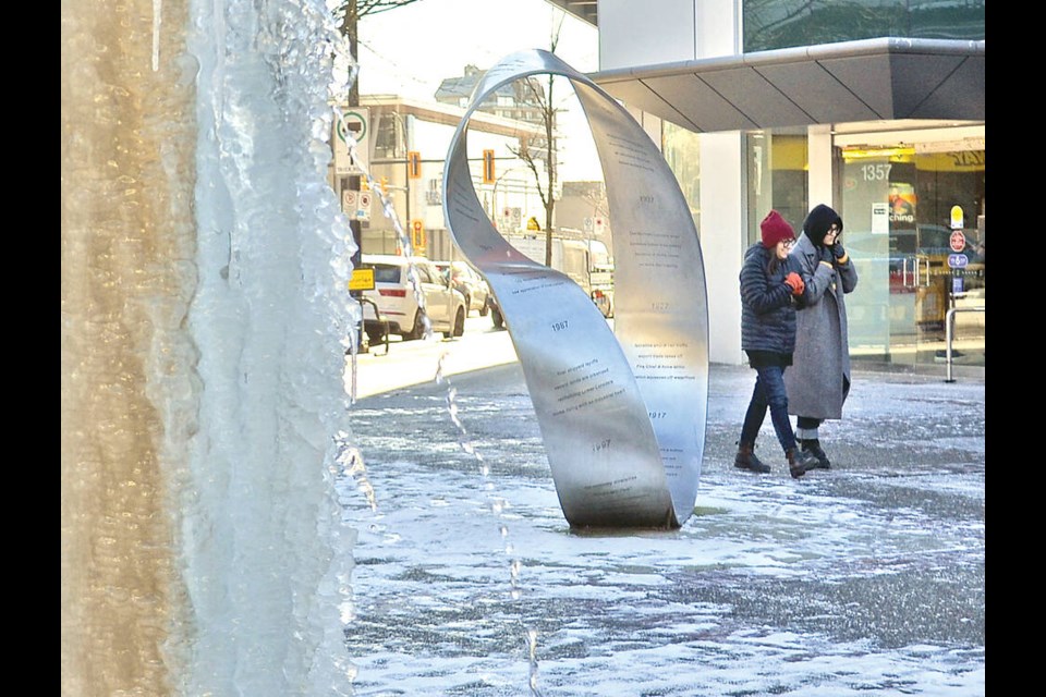
Bone-chilling cold, epic dumps of powdery snow, spring-like warm evenings and torrential downpours – if you thought January weather was a bit crazy on the North Shore, you’re not wrong.
‘Weather whiplash’ had folks in North and West Vancouver living through extremes on both ends of the temperature gauge, said Environment Canada meteorologist Alyssa Charbonneau.
In the first half of January, West Vancouver set low temperature records as a “polar vortex” of Arctic air pushed down from the North Pole across much of western North America.
Polar vortex sets low temperature records
The overnight low on Jan. 12 at the West Vancouver weather station dropped to -12.8 C, about two degrees below the previous low record of -10.4 set in 1998. Records for lowest overnight temperatures were set on two subsequent days that week. It didn’t warm up much in the daytime either, with the highest temperatures reaching only -6.5 on Jan. 12 and -5.4 on Jan. 13.
Right after that, the North Shore had its first major snowstorm of the season.
The big dump of snow on Jan. 17 didn’t set local records but was still a significant amount.
Environment Canada’s weather station in West Vancouver officially recorded 22 centimetres of snow, although residents with rulers took to social media to post accumulations of anywhere from 25 cm in lower Caulfeild to 30 cm at higher elevations.
Month ends with drenching rain and record highs
The month ended on the opposite note, with a series of Pineapple Express weather systems bringing drenching rain along with unseasonably warm temperatures.
West Vancouver broke a series of records for high temperatures, reaching a positively spring-like high of 17.9 on Jan. 31, easily surpassing the previous record of 15 degrees. The local weather station recorded highs of more than 17 degrees on all four days from Jan. 28 to Jan. 31.
It was warm in the evening as well, with temperatures not dipping below double digits overnight – a rare event in January.
The end of the month also brought a deluge of rain.
The rainiest day was Jan. 27, when Metro Vancouver’s weather station at the Capilano lakehead recorded a drenching 151.38 millimetres of rain. That helped push the January total to a whopping 797.67 mm of rain.
Farther down the North Shore mountains, the official West Vancouver weather station on Cypress Bowl Road also recorded its rainiest day on Jan. 27 at 62.2 mm of precipitation. West Van’s total rainfall for the month clocked in at 402.5 mm – about double last year’s total.
El Nino’s effects will continue into spring
Heading into February, “things are looking to settle down a little bit,” as well as dry out in the immediate term, said Charbonneau, with temperatures expected to return to near normal.
The second half of February could see those temperatures climbing again, she added, noting the warming effect of El Nino typically lasts into the spring.
“That is what we’re seeing in our long-range forecasts.”
On Friday, the province issued a warning to backcountry users, noting recent heavy rain has weakened the snowpack, making some areas more susceptible to avalanches. Avalanche Canada rated the North Shore backcountry as carrying a “moderate” risk of avalanches, while the Sea-to-Sky area was rated at “considerable” risk.


