Happy Wednesday, Whistler! Expect another hot one for your hump day this week.
Today's forecast calls for sunshine with a high of about 31 C in Whistler. A low of 14 C is expected overnight, with a clear skies. Looking to tomorrow, the forecast calls for mainly sunny skies, with a high of about 31 C.
If you need a place to escape the heat, check out the Whistler Public Library or the Meadow Park Sports Centre.
Find Whistler Blackcomb's operational hours here.
Want more local weather? Check out Pique's Weatherhood page here.
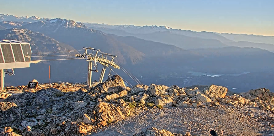
Find up-to-date webcam views using the Whistler Peak site or app.
The local fire danger rating is currently extreme. No fires of any kind are allowed in Whistler now until Sept. 15, no matter the fire danger rating—including campfires and fireworks.
The BC Wildfire Service is showing no new fires near Whistler.
The air quality in the resort currently a 1/10—low risk.
DriveBC is showing no major disruptions on Highway 99 this morning.
Whistler is currently in Water Conservation Stage 2, which means certain limitations on watering.
Follow this link for the latest posted gas prices in the corridor.
Follow @wbmtnops on Twitter for the latest on-mountain conditions.
Stay safe out there, and check back with Pique for all the latest Whistler news.
Got suggestions for Whistler this morning? Email us at [email protected].


