A powerful windstorm left thousands of Metro Vancouverites without power this week — and the stormy season is far from over in the region.
Metro Vancouver's June is often called "Juneuary" because it sees bouts of markedly cold temperatures and plentiful rainfall known as "cold lows."
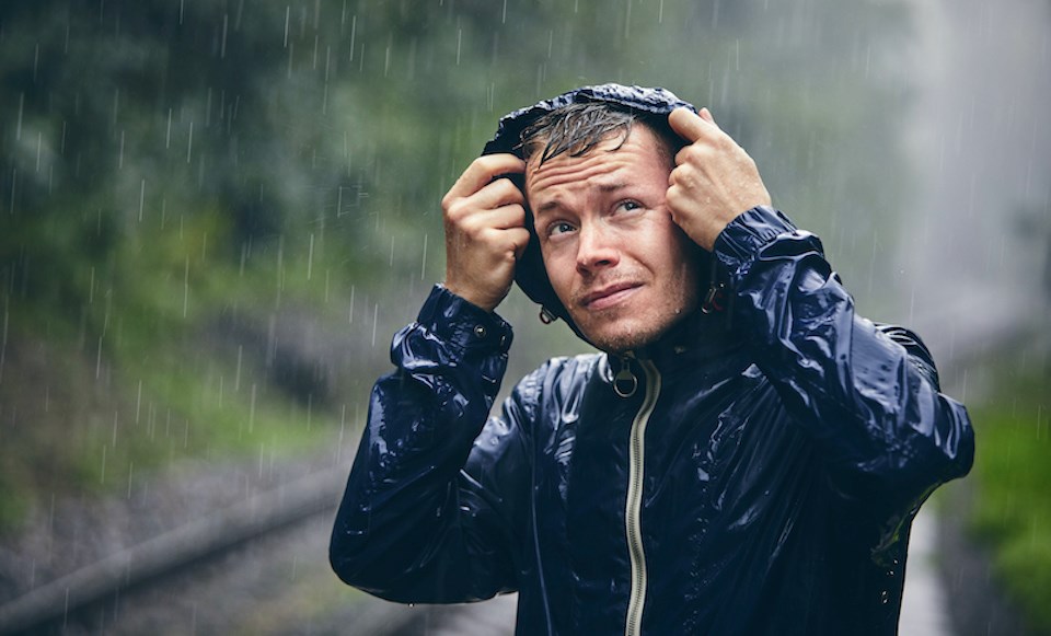
A cold column of unstable air drops down to B.C. from the Gulf of Alaska, creating an unsettled atmosphere that may produce powerful windstorms, lightning, hail, and heavy precipitation.
Environment Canada meteorologist Bobby Sekhon says the final week of May should see at least one more organized rainstorm. However, it is still too early to tell how much precipitation the system will produce.
"There's nothing too potent brewing," he notes, adding that the possibilities for powerful, "winter-like" storms decrease as we approach summer.
But "vigorous frontal systems" with heavy rain, wind and hail are still possible.
"In general, what we look for about three to five days out is a general pattern with a change in the air mass," he explains. "Within 48 to 24 hours, we can see more of the details of a storm."
Storm details include precipitation amounts and wind warning levels. Environment Canada typically won't issue a wind warning more than 24 hours before the event.
Metro Vancouver weather forecast includes a June marked with cold lows but 'above average' temperatures
Some systems that arrive in the fall and winter are easier to see further out, including the atmospheric rivers that make their way to the B.C. coast from the tropics.
While June through August is expected to see warmer temperatures, June tends to see frequent cold low-pressure systems.
June is the wettest month of the year for many places in the Interior and is vital for preventing destructive forest fires through the summer.
"It will set us up for summer," Sekhon notes, highlighting that large swaths of the province have drought conditions.
"We can have the cold lows coming in until July 10... but the June period is crucial. We need that last blast of precipitation."
Sekhon adds that thunderstorms are also more common during spring than the rest of the year on the B.C. coast. They typically come embedded in larger systems, such as wind and rainstorms with widespread showers, making them different than isolated and scattered thunderstorms seen during the rest of the year.
"Large systems with cold lows have enough instability to have widespread lightning," he says.
"In the fall and winter, thunderstorms are a lot less likely. [It is a] different dynamic."
Stay up-to-date with hyperlocal forecasts across 50 neighbourhoods in the Lower Mainland with V.I.A.'s Weatherhood.


