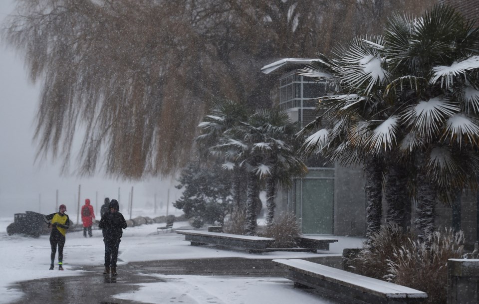
Vancouver's deep freeze days are coming to an end, but one more dump of snow appears to be in the cards.
The Arctic air mass that's been dropping Vancouver as low as -13.7 C is expected to gradually leave from Sunday through to Tuesday, according to Philippe-Alain Bergeron, a meteorologist with Environment Canada (EC).
At the same time, new systems are headed toward Vancouver carrying a fair amount of moisture.
That means snow is likely.
"The critical time frame to watch now is Tuesday night into Wednesday," says Bergeron.
While things may be problematic on Tuesday afternoon, the most intense period of snowfall is expected later at night.
The big question will be how much snow will fall before it turns into rain, and when will the change happen.
"It has the potential for a significant snow event at lower elevations, even sea level," says Bergeron. "We're fairly confident there'll be lower elevation snow Tuesday night."
Luckily it's not an atmospheric river, he adds, but a combination of two systems off the coast of B.C.; one off Vancouver Island and one to the northwest.
A lot of precipitation is expected in Metro Vancouver this week as a result. At first (on Tuesday night) it'll fall as snow, but as the Arctic air gets warmed and pushed away, that'll turn to rain. By Friday a high of 8 C is expected.
As the most intense period of snowfall is expected after the commute on Tuesday night, Bergeron says Wednesday morning may be the worst time for traffic in the region.


