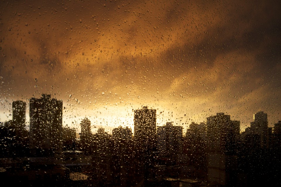
Even for Raincouver the forecast seems damper than usual.
Environment Canada issued another weather warning Sunday, Nov. 14, essentially continuing the previous one as rain keeps pouring from the sky. And they're predicting lots more over the next 36 hours.
"Total rainfall up to 100 mm for Metro Vancouver, western Fraser Valley and parts of the Sunshine Coast, and up to 150 mm for Howe Sound and the eastern Fraser Valley for today and Monday," states the federal agency online.
It's predicted to peak Sunday afternoon and evening ahead of a cold front. As the cold front arrives more fully on Monday it'll push the clouds somewhere else.
With the constant rain it's cautioning people to watch for localized flooding.
"This could result in possible washouts, debris flow and pooling water as rising freezing levels will also melt snow at higher elevations. Local river levels will rise and river flows will increase as a result of the heavy rain," states part of the warning.
For those in the lower areas of Metro Vancouver it won't be quite as wet; the expectation is for 75 mm to fall in those areas, like Richmond. In other areas, like North Vancouver, Coquitlam and Maple Ridge the full dose of rain is predicted.
Areas neighbouring Vancouver, to the north and east, will be even wetter.
"Howe Sound and central and eastern Fraser Valley including Chilliwack and Hope could see upwards of 150 mm," states Environment Canada.
While the cold front should bring an end to the hard rain, it'll also bring some cooler temperatures. While Sunday is expected to hit a high of 13 C, a high of only 8 C is forecast for Monday, with a low of 3 C.


