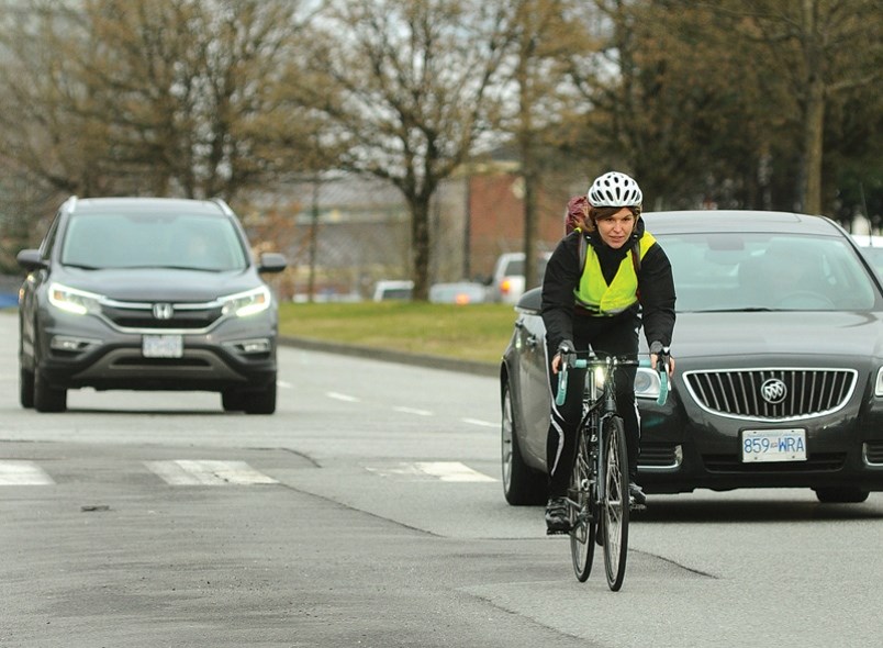
Imagine you are a person who needs to leave their home.
I do but sadly am confronted with the reality that I am non-essential. Pretend you are essential though, and that you need to get from Capilano Road and Montroyal to work at the Save-on-Foods at Park and Tilford. What route would you take on a bike?
I am often asked what routes people should use to get from A to B. There are multiple routes no matter where you want to travel. The question I always ask is, “how fast do you need to get there?”
It’s sort of like the adage about contractors: we can do cheap, fast, and good, but we can’t do all three. Pick two.
With cycling for transportation, you can have routes that are direct and fast, but not safe. Or you can have safer, slower ways that are indirect. Here on the North Shore, there is rarely a safe and fast route that is direct.
In addition to fast or slow, safe, or not, any route decisions you make will be about minimizing distance and optimizing elevation – in both directions. It’s tough because our topography – steep hills, river and creek canyons plus few bridges – makes pathfinding more complicated than just looking it up on Google maps. But that’s half the fun.
Oh, and don’t forget the beauty factor. The beauty factor is the sine qua non of any good route for me. Does the route go through trees? Offer a view? Go by the ocean? Take you through a park? If so, it gets beauty points.
Let’s look at the specific case: cycling from Capilano Road and Montroyal to Park & Tilford. This route epitomizes decision making on the North Shore. From your perch up on Capilano Road, Park & Tilford is only a short seven-kilometre ride away as the crow flies and it is all downhill. So that should take around 30 minutes.
In geometry class, most of us learned that a kitty-corner path is shorter than two straight lines. Let’s test that theory.
Route 1: Capilano and Marine to 3rd Street
First, the two straight lines: down Capilano Road to Marine Drive and then east along Marine Drive to 3rd Street and down the hill is a total of 10 km. The good things about this route? It is direct, downhill, or flat for the most part. However, that ride is almost entirely on painted bike lanes with no buffer on busy streets with buses. All the lights along Marine can be a real drag on time too. Some people would rule it out on the basis of safety – or at least because it is noisy and unattractive. Ultra-low beauty points. Using a scorecard, here are my ratings (out of 5) on each factor.
Safety = 2, Speed = 3, Direct = 3. Beauty = 0
Total Route Score out of 20 = 8
Route: Wiggly Way 47
Second, an alternate diagonal route minimally cuts distance, but significantly ups both safety and beauty factors. Feel free to pretend read this paragraph – it gets a little twisty: Start by cycling up Montroyal to Belvedere (it’s not a significant up). Cross Mackay Creek and continue to Lions Avenue, a flat street with lots of room and hardly any traffic. Turn down Lions to Beaconsfield and then over to Highlands. Whiz down Highlands to Forest Hills then cross Mosquito Creek to the east, bearing south down Wayne to the intersection at Bewicke and Blythwood. At the corner, there’s a trail that threads through Delbrook Park, linking Blythwood to Delbrook. Cross Delbrook then continue on Windsor to Stanley. Turn right and cross Queens to Larson, then down Larson to 27th, then up to Jones. Cross Highway 1 on the Jones overpass. Take Jones to 24th and head east until Eastern, turn down and hook up with 23rd for three blocks until you hit the Green Necklace. Take the bike path down Grand Boulevard, then Queensbury until 3rd. Here you can’t quite get on the Spirit Trail yet, so take the third street hill and go right onto the Spirit Trail to cross over 3rd Street on the bridge. Head down on the paved trail to behind the Rona. Boom, just like that, after 47-easy steps, you arrive at Park & Tilford.
Safety = 4, Speed = 2, Direct = 0. Beauty = 3
Total Route Score out of 20 = 9
Both routes are viable. They both come out more or less equal in terms of points. It’s all about which factors you favour. I am preferential to safety and beauty. Others might treasure speed and directness. Where are you going today? Which path would you take? It’s an art form to decide.
Heather Drugge is a sustainable transportation advocate who has used her bike for transportation for 20 years. She’s looking at getting an e-bike and maybe a jetpack next. Northshoremoves@gmail.com


