BACKCOUNTRY UPDATE: As of Tuesday, April 4
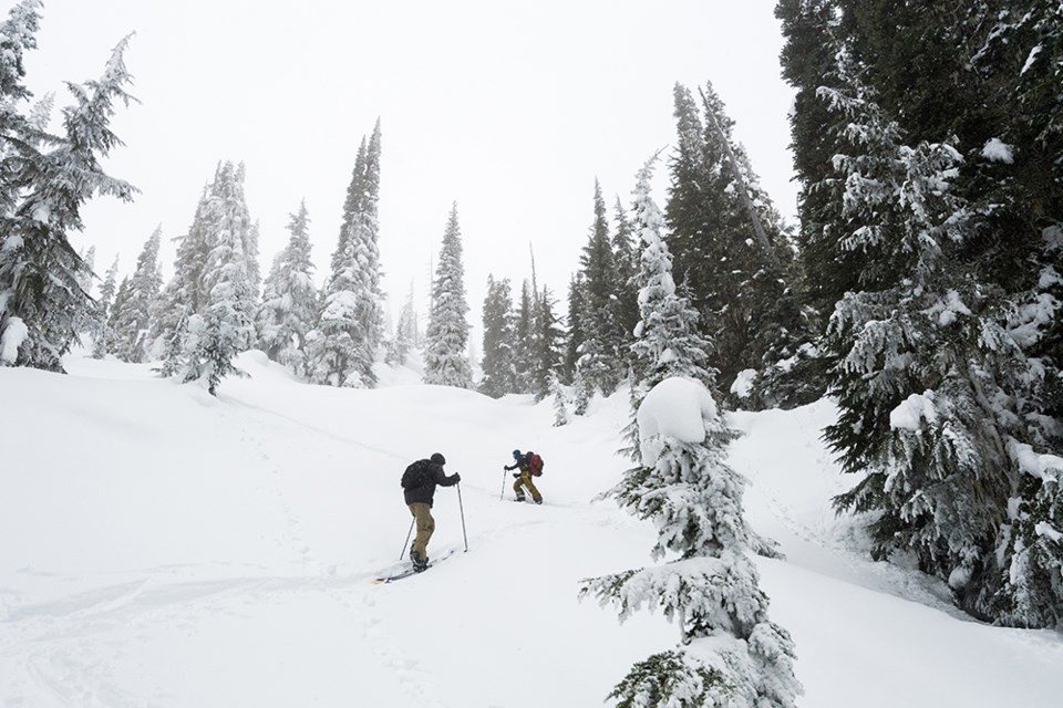
While we often think of Easter weekend as the perfect opportunity for some spring skiing, it’s important to keep in mind that winter weather can still make an appearance. A series of warm, wet, and windy storms are expected to bring snowy, wintry conditions to the Sea to Sky mountains throughout the holiday weekend.
The recent snow delivered by the first storm makes Good Friday a great day to hit the slopes. However, starting on Saturday, another storm will bring heavy precipitation to the Sea to Sky until early Monday morning, creating a winter festival for snow lovers.
During these storms, freezing levels will fluctuate between 1,500 and 1,700 metres. Expect rain or wet snow at lower elevations, and dry snow in treeline and alpine elevations. Southerly winds, gusting up to 70 kilometres an hour, will maintain stormy conditions throughout the weekend. It’s important to note that avalanche danger will remain elevated during and immediately after the storms.
Spring storms typically produce warmer snow that is more cohesive. Cornice development is common during this time of the year. Wind slabs and storm slab avalanches are the most frequent problems, occurring within the new snow or at the old snow interface (often on top of a melt-freeze crust). Cold, well-bonded snow can destabilize quickly when exposed to the sun, even if just for a few minutes. Wet, loose avalanches are a risk on steep solar slopes.
If you plan to venture into the mountains this weekend, here are a few things to keep in mind:
- The snowpack will be significantly different at higher elevations than down low. Adjust your travel and risk management techniques accordingly.
- Give cornices a wide berth when travelling on or below ridge crests.
- Be prepared to adjust your terrain choices if the storm delivers more snow than forecasted.
As always, head to Avalanche Canada's website for current forecasts, and to read up on how the snowpack and avalanche problems are developing before heading out. Stay safe and enjoy the Easter winter fest!