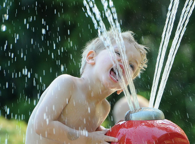
Good day, sunshine!
After suffering through an extended snow-bound winter and a cool soggy spring, summer is finally getting underway.
And meteorologists looking at the extended three-month forecast for June, July and August are predicting we could even be in for some warmer than average temperatures, especially at the beginning of the summer.
The sunny weather that’s already started is “more than welcome,” said Michael Carter, a meteorologist with the Weather Network.
After a winter of ice that saw salt wars breaking out in the Lower Mainland and a sodden March and April, “you’ve earned some relief,” he said. “That’s going to be coming sooner than later.”
Matt MacDonald, a meteorologist with Environment Canada, agreed.
“We’re into a really excellent stretch of weather,” he said – with daytime highs until the middle of the week expected to remain six or seven degrees above normal, in the mid-20s. “And not a drop of rain in sight.”
While temperatures will slide to seasonal norms after that – hovering around 18 during the warmest part of the day – looking further ahead “there’s some pretty consistent indications we can expect a warmer than normal summer,” said MacDonald – particularly in June.
Warmer than normal ocean temperatures off the B.C. coast are part of what’s contributing to those predictions. “That’s helping drive our warmer forecast for the summer,” he said.
Other factors include a significant decrease in Arctic sea ice, said MacDonald, which reduces the amount of solar radiation being reflected and adds to the amount being absorbed by the ocean.
Warmer than usual temperatures stretching into the mid-20s are likely this summer, said Carter. “It looks like it’s going to be fairly persistent for most of the summer.”
The shades-and-shorts-worthy weather is a marked departure from spring, which MacDonald said was the wettest on record for the Lower Mainland.
“It wasn’t people’s imagination,” he said. The West Vancouver weather station above Highway 1 recorded 661 millimetres of rain from the beginning of March to May 25. “That’s more than half a metre of rain,” said MacDonald.
Not only did it rain a lot, but there were very few rain-free days, he added. In March, only four out of 31 days were dry, while in April there were seven out of 30. May showed improvement, with 12 out of the first 25 days without rain.
Temperatures were overall half a degree colder than normal over the three-month period, he said.
The good news is “the pendulum has completely swung now,” he said. “We’re under the influence of this nice big ridge of high pressure.”
MacDonald said there’s no way to tell whether the summer will be dry as well as hot.
“Forecasting precipitation beyond two weeks is a total crap shoot,” he said.
Luckily, winter has left a heavy snowpack in the mountains. “Those streams aren’t about to run dry anytime soon,” he said.
Looking even further ahead, both forecasters noted early indications are there could be an El Nino weather pattern developing for next winter.
Those who like to keep tabs on local weather predictions may be interested to note that last month Environment Canada began to break out its forecasts for different areas of the Lower Mainland when differing conditions are anticipated. Those looking for current conditions or predictions on the North Shore can search Environment Canada’s weather for “West Vancouver” – which draws information from an automated weather station near the Cypress Bowl exit.


