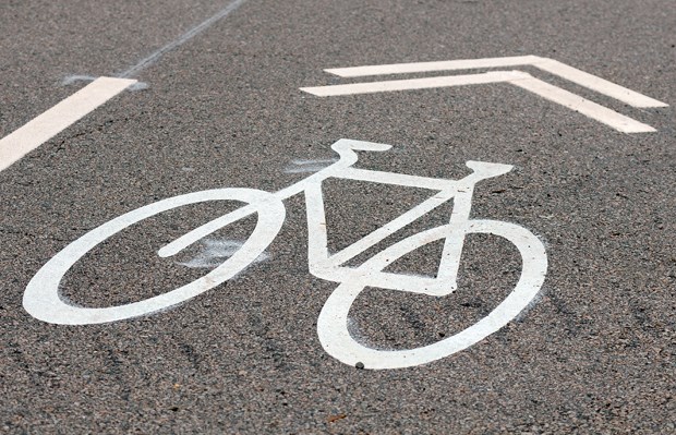
Cyclists: Ever been doored by a driver or boxed out of a sharrow lane and want to channel your anger into something positive? There’s an app for that.
Promotion for a relatively new online mapping tool for cycling incidents, bikemaps.org, is being rolled out this month, and it’s being embraced by those in the local cycling community who say it will make the roads safer.
“It’s a really useful tool and provides data for something that we don’t otherwise track,” said Tony Valente, spokesman for the cycling advocacy group HUB.
Cyclists are encouraged to hop online and pinpoint incidents or obstacles like road hazards, near misses, collisions and bike thefts.
So far, 400 cycling incidents stretching across the Lower Mainland have been plugged into bikemaps.org. But the website hasn’t been catching that much speed on the North Shore, noted Valente.
“It’s (bikemaps.org) only as good as the information going in,” said Valente. “Even if it’s only partial information, it’s still useful.”
There are “real trouble spots” on the North Shore for cyclists, especially those who commute by bike, according to Valente. He points to the intersection of West First Street and MacKay Road, an alternative route for Marine Drive, as being a hot spot for cyclist collisions and close calls.
Bikemaps.org posted two cycling incidents that occurred within three days of each other at that location this past May.
Not only can the website prepare other cyclists for known obstacles, it can also inform designs for intersection improvements and be a useful tool for municipalities, said Valente.
On Monday, Valente will appear before District of North Vancouver council to talk about how to connect the Ironworkers Memorial Second Narrows Crossing to the rest of the cycling network in the area, with a focus on Main Street between Brooksbank Avenue and the bridge.
“Because it’s a known issue where basically we spent all this money to upgrade the Second Narrows … but we really don’t have good access to the Second Narrows,” said Valente, adding improvements done to the Lions Gate Bridge have made it easier for cyclists.
“In an ideal world we would have the AAA – all ages and abilities biking (infrastructure) – connecting to the Second Narrows.”
HUB will also be providing input for the district’s plans to link up the Spirit Trail with Seylynn Village, according to Valente.
“So I think there’s a real opportunity to take that,” he said.
Bikemaps.org, which can used by cyclists around the globe, was launched by University of Victoria researchers last October.


