A new tool for observing climate change created by a team including a North Vancouver researcher has made it into the semifinals for a Massachusetts Institute of Technology sponsored competition.
CLIVE, short for Coastal Impact Visualization Environment, is a new geovisualization tool created by North Vancouver resident Nick Hedley, along with fellow team members Adam Fenech, Alex Chen and Andrew Doiron. The project recently became one of six semi-finalists in the Communicating Coastal Risk and Resilience competition, sponsored by the highly regarded U.S. institute.
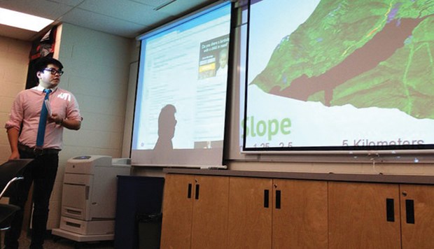
Hedley, a geovisualization expert, explains that CLIVE is designed to communicate the best climate science into society by presenting information in a way average people can grasp.
For instance, the tool allows the user to plug in the Intergovernmental Panel on Climate Change's projections for sea level rise, and see what impact that would have on a specific geographical area.
"We hear IPCC this and that in the news and climate change this and that in the news, and that's not always easy for citizens to relate to their everyday surroundings," said Hedley. "So that's sort of the point - how can we connect it to the everyday, so that we don't just sort of think we understand it in abstract terms but we're able to relate it to one's own coastline, one's business, one's home... ." CLIVE does that by combining both historical recorded, observed records with projected models, said Hedley. "It allows you to observe them and explore them in an interactive 3D environment that can be used on a laptop."
The tool is a result of a coast-to-coast collaboration between Hedley, who is also director of Simon Fraser University's Spatial Interface Research Lab, and SFU grad Chen, as well as Fenech and Doiron, both from the University of Prince Edward Island's Climate Lab.
The current version of CLIVE is designed for Prince Edward Island and delivers historical data from the 1960s to the present showing the coastline and coastal erosion over that period of time. Hedley also hopes to use it for B.C's coastline.
Hedley said by allowing citizens and stakeholders, such as local governments, to see changes in the coastline it helps them to take ownership and get involved, leading to productive dialogue.
"I think what we need to do is we need to close the gap between expert science and society," said Hedley. "I think tools like CLIVE can do that."
Winners of the contest will have the opportunity to discuss their ideas with the National Oceanic and Atmospheric Administration, as well as explore funding opportunities at a conference hosted by MIT this fall.
The public is also invited to vote for winners of a "popular choice" award at climatecolab. org/web/guest/plans/-/plans/contestId/1300801.


